About “Agri-AR”
An application service designed to make farming more efficient with Augment Reality technology. It offers an affordable & user-friendly app that can be used by anyone, anywhere, to streamline simple tasks in farmlands. Developed by Root Inc., Japan-based agritech startup and the service is accessible worldwide.
For “Meta Quest 3” Users
Demo Movies Search
Go to Support Page
Tutorial Page
Agri-AR’s 11 Features
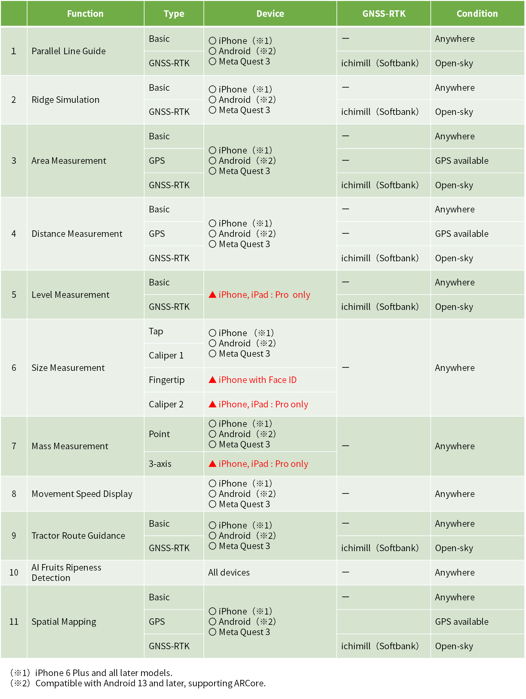
By installing Agri-AR app on your device & subscribe to the paid plan, you can use the following features.
You can try out 1 & 2 for free with limited capabilities.
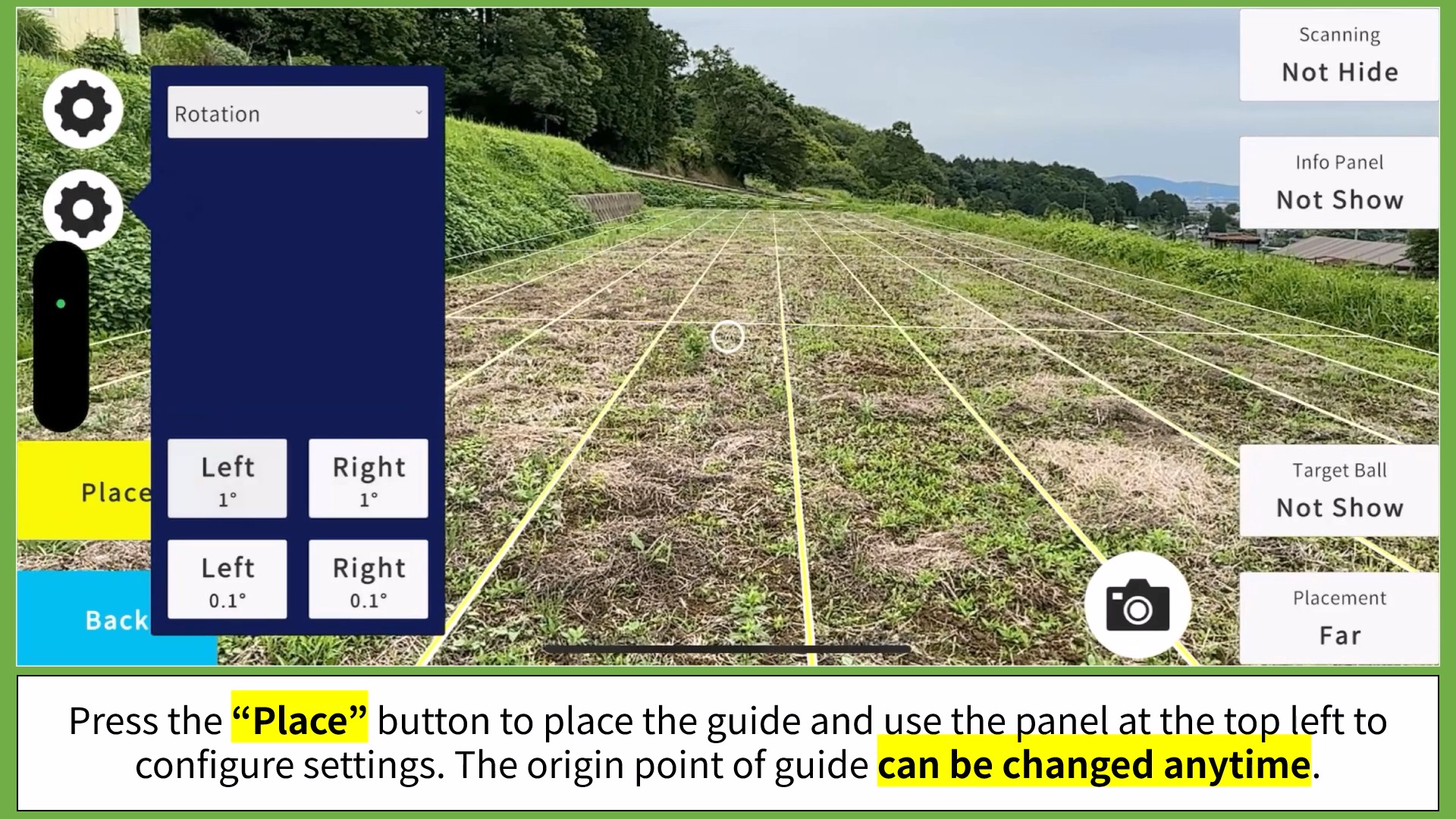
1. Parallel Line Guide
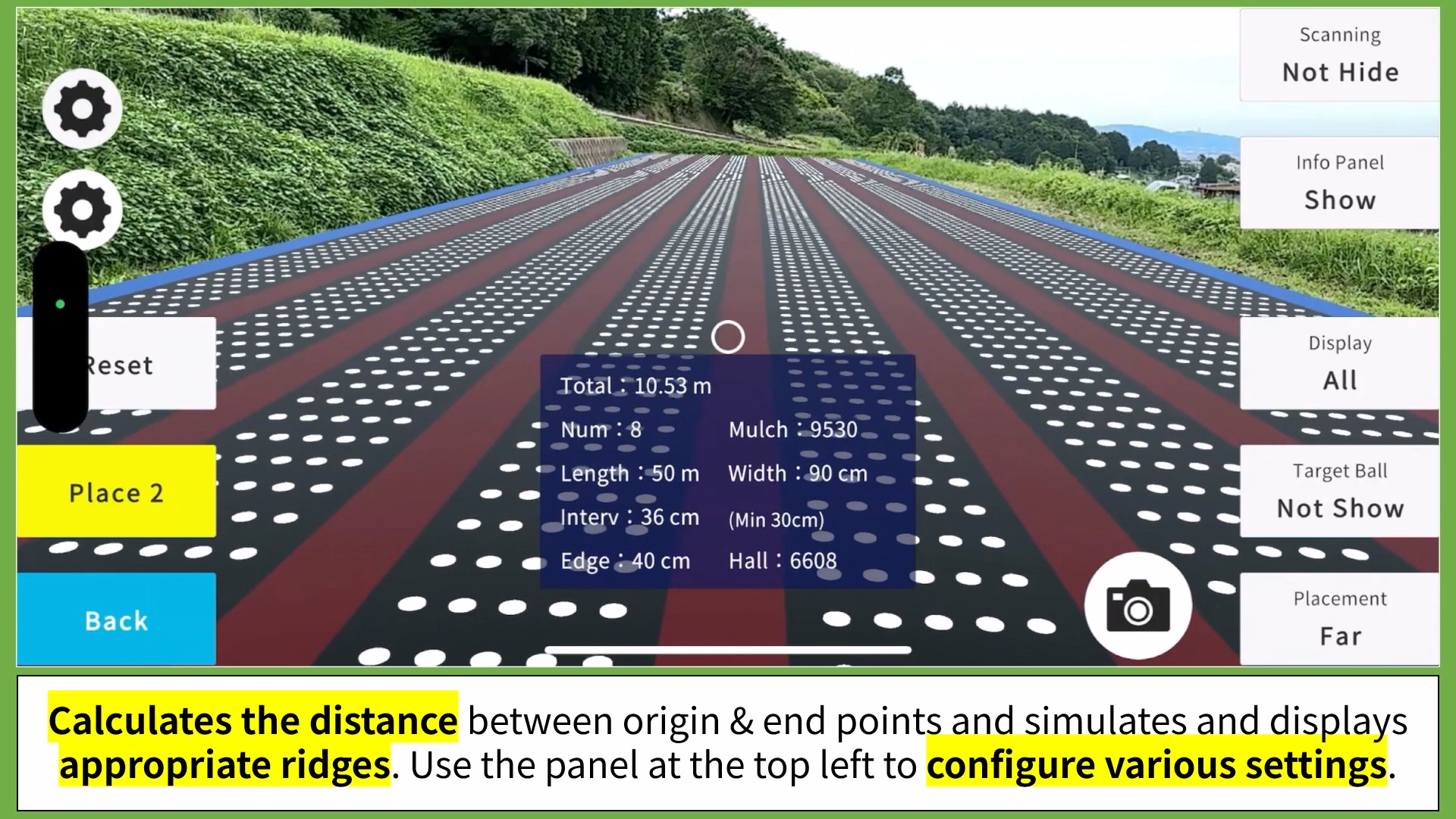
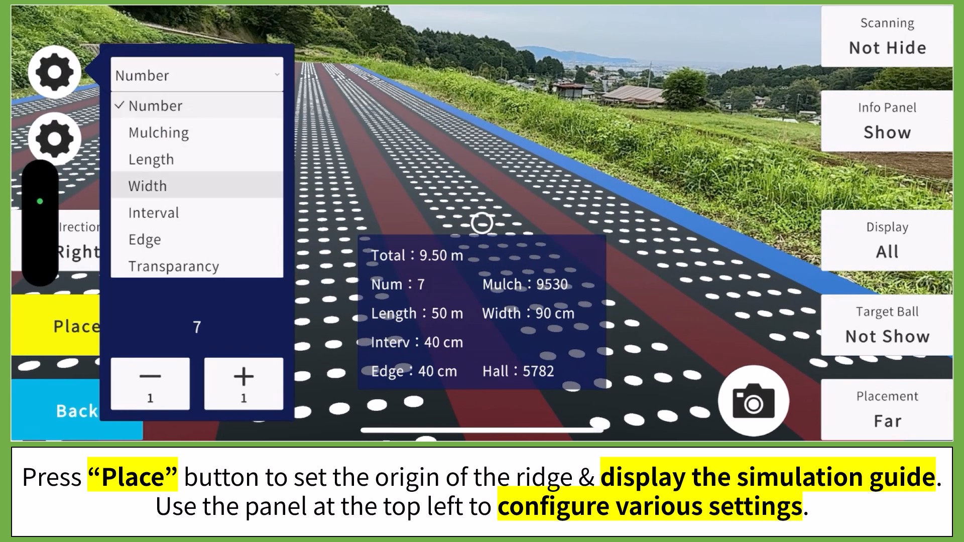
2. Ridge Simulation
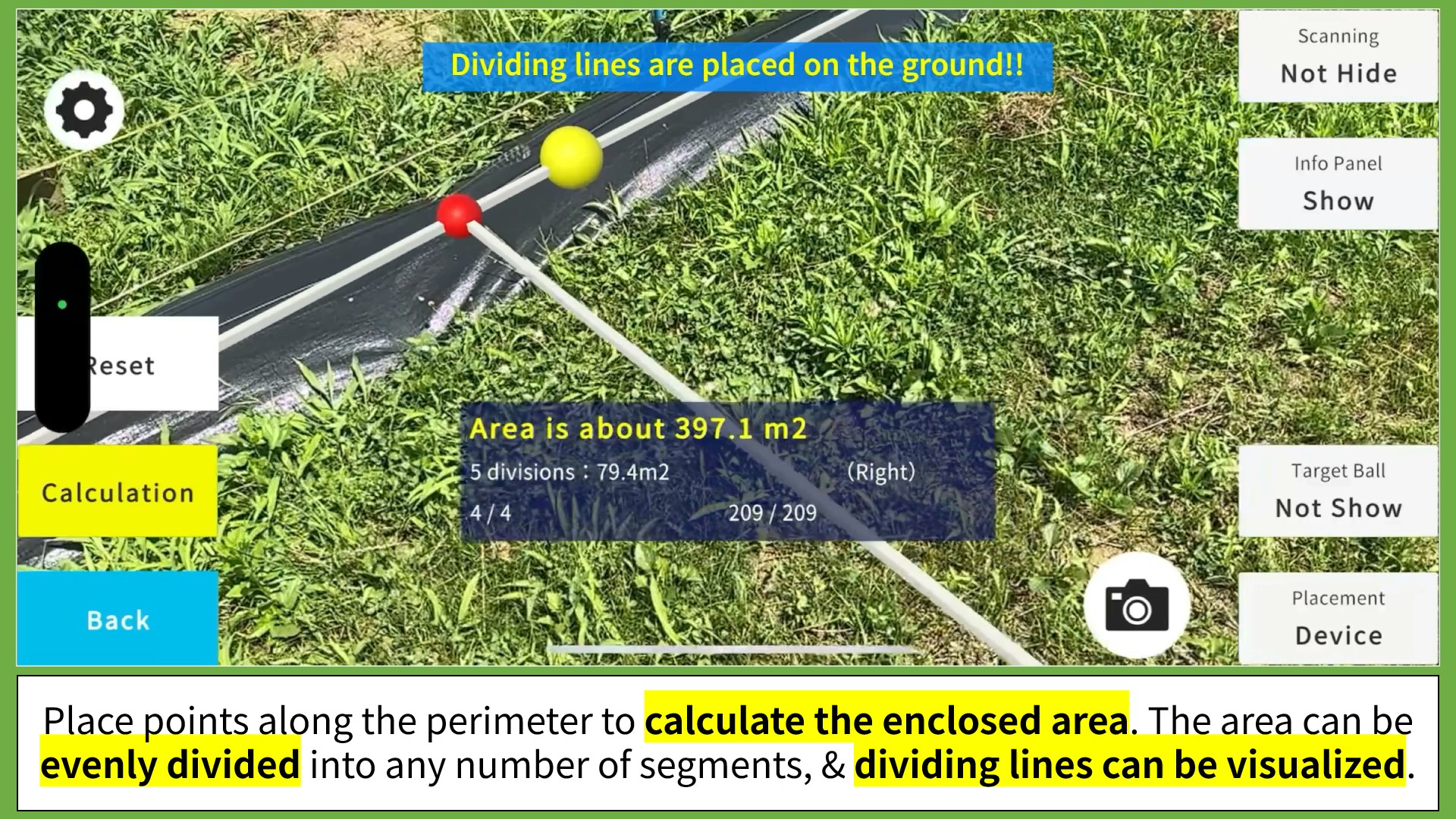
3. Area Measurement
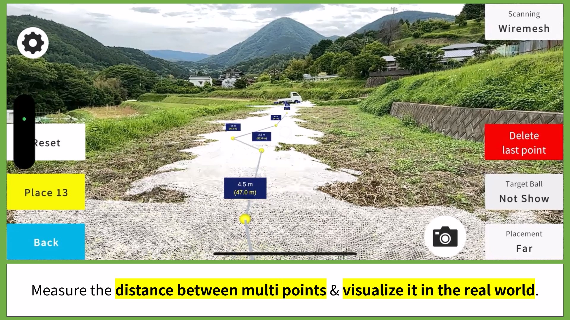
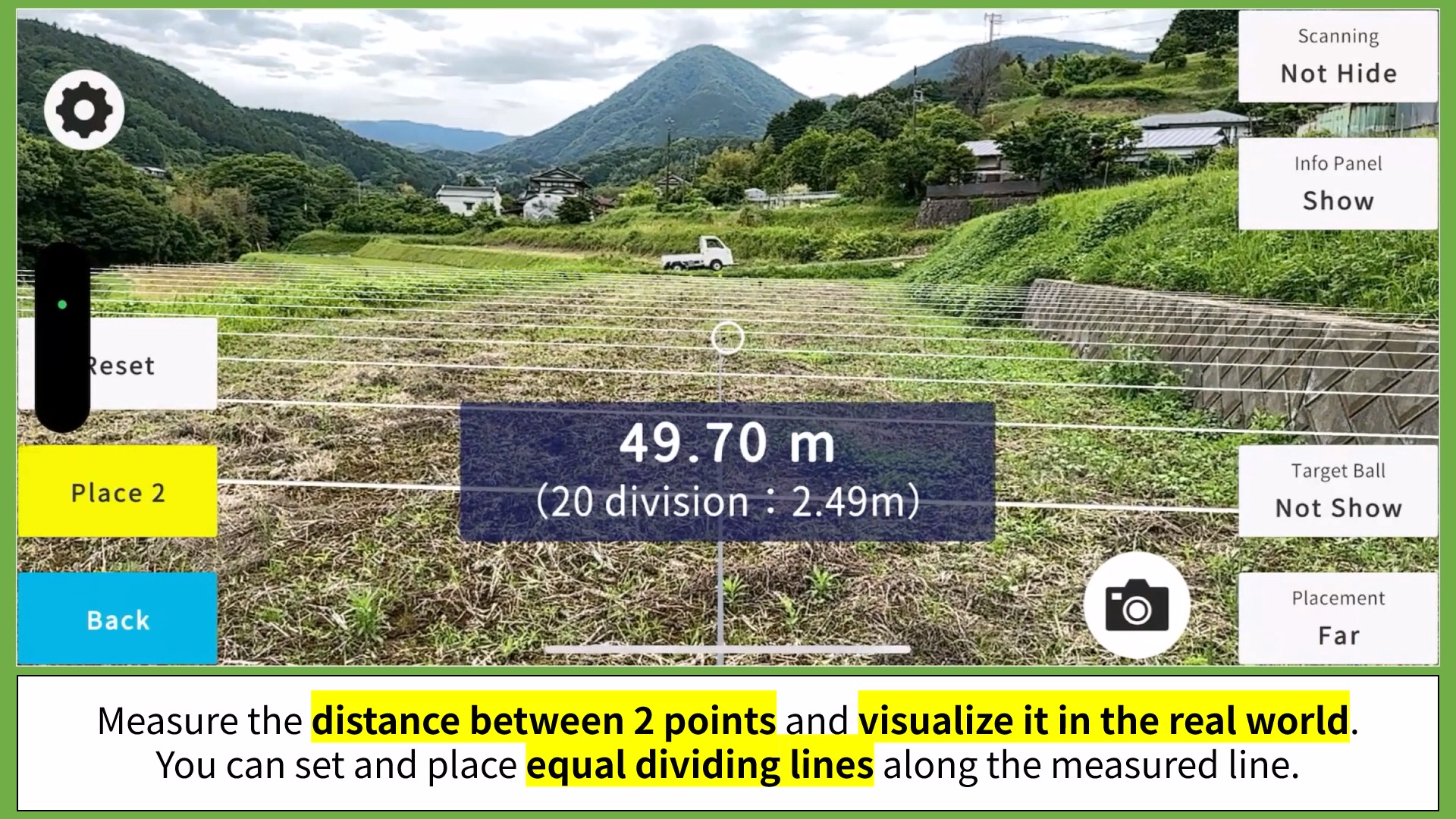
4. Distance Measurement
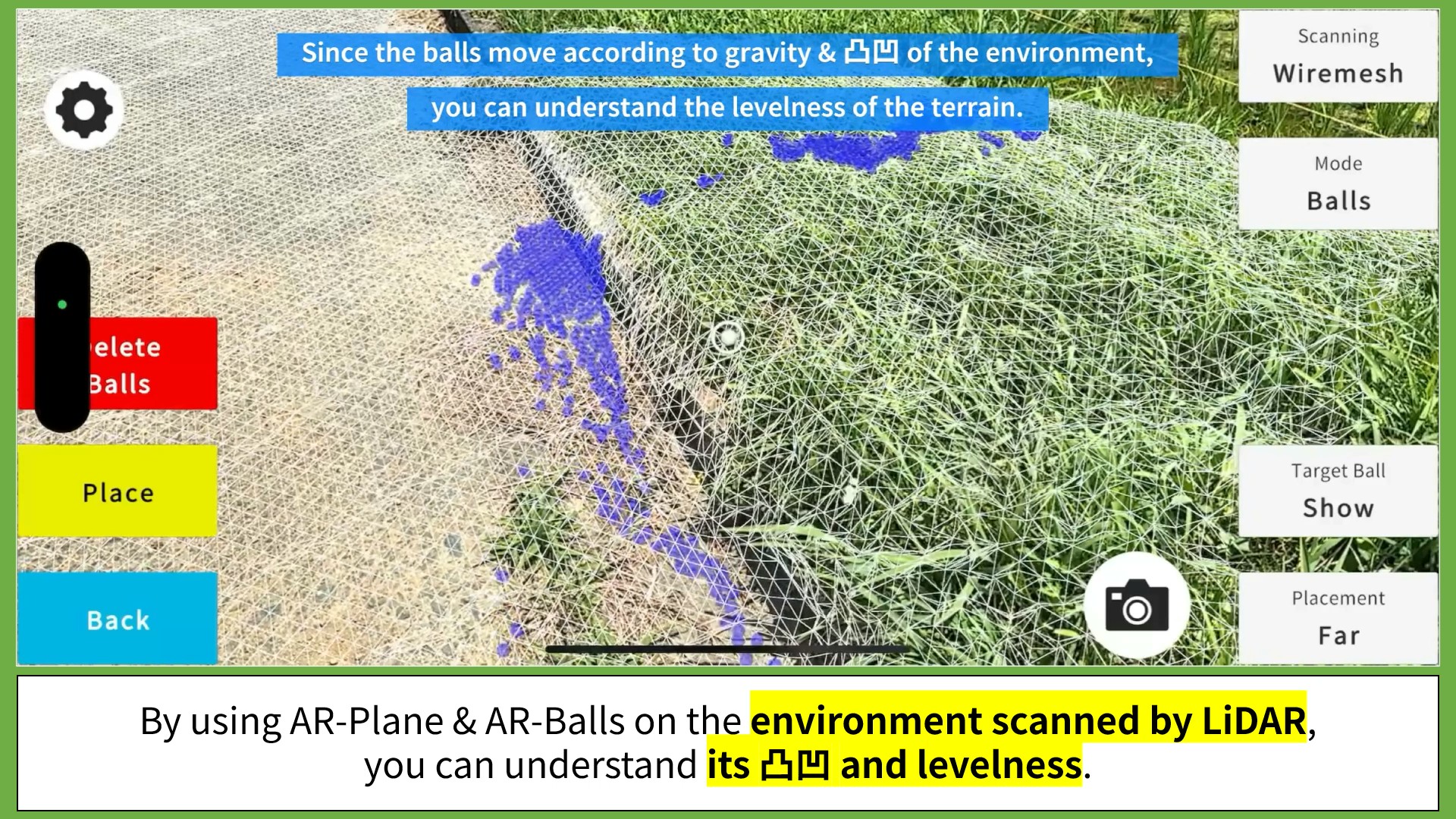
5. Level Measurement
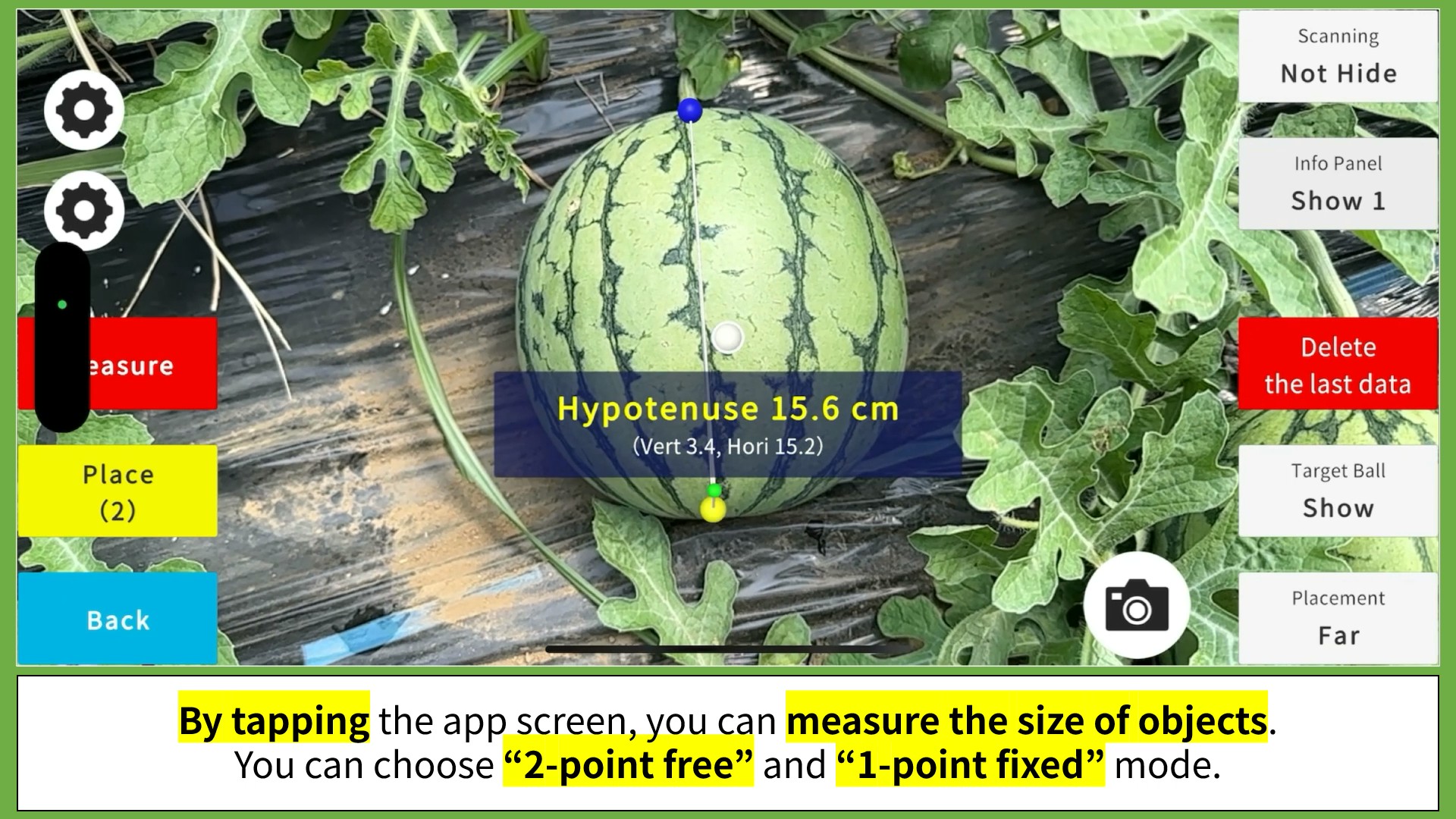
6. Size Measurement (Tap, Fingertip, Caliper)
7. Volume Measurement (Points, 3-Axis)
8. Forestry / Speed
9. Tractor Route Guide
10. AI Fruit Ripeness Detection
11. Spatial Mapping
Recommended devices are iPhone/iPad with LiDAR > Meta Quest 3 > iPhone > Android smps.
Pricing
All Functions 60 USD / 2-month
2 Functions 60 USD / year
4 Functions 120 OSD / year
All Functions 180 USD / year
All prices include tax, and you must register for the number of devices you plan to use.
For inquiries regarding bulk contracts and specific conditions, please contact us through the form at the bottom of this page.
(Compatible Devices & Usage Conditions)
Additional Device & Service
Agri-AR app for smart-glasses “Meta Quest 3” allows you to use the same functions as the smartphone version, completely hands-free.
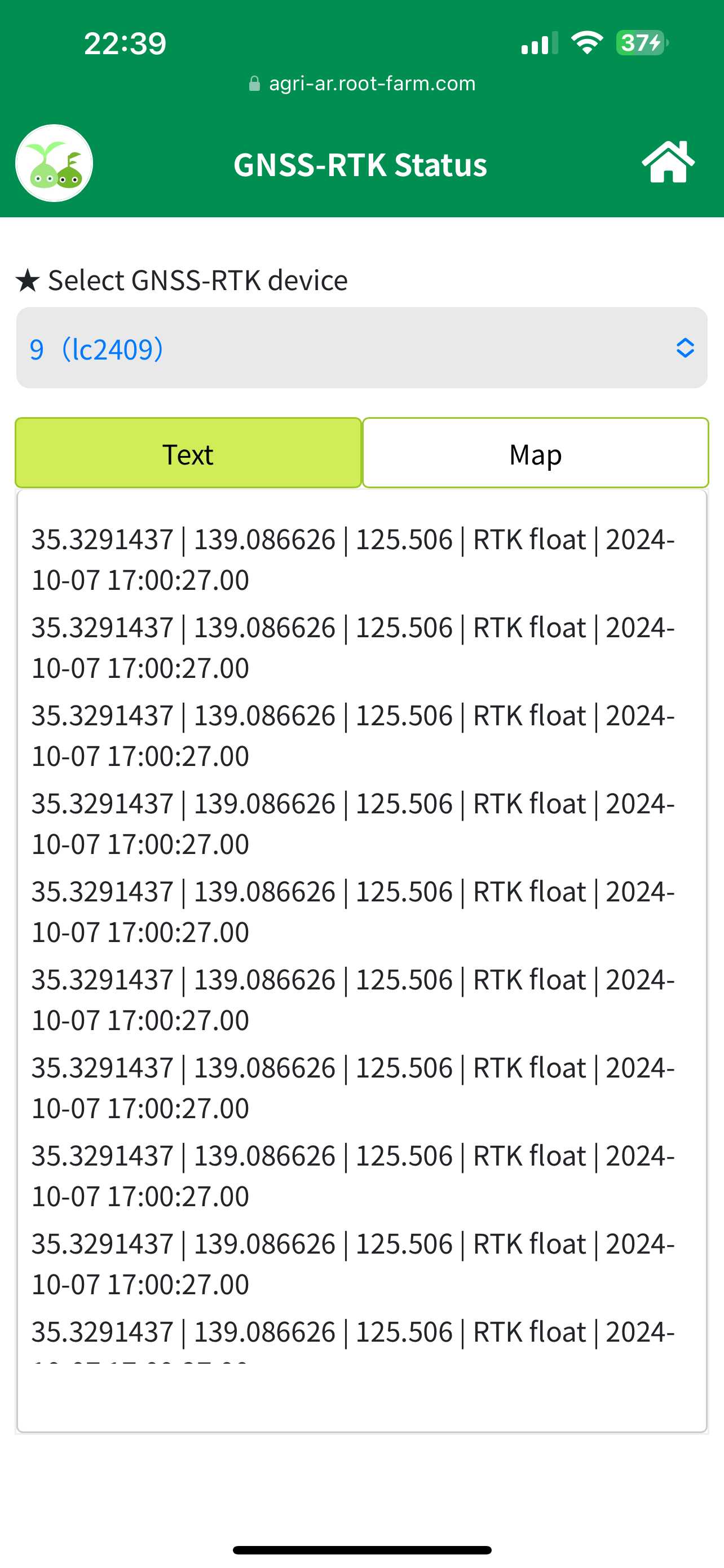
Also, with GNSS-RTK (centimeter-level precision satellite positioning), you can achieve even higher precision for work assistance and measurements in large fields.
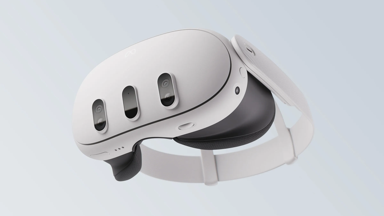
Meta Quest 3
Meta's MR smart glasses, released in the fall of 2023, offer a wide field of view for MR features, providing excellent visibility.
The price is at $499.99.
It is available on Amazon & other retailers.
View Meta Quest 3 on website
ichimill
"ichimill" is a high-precision satellite positioning service with an accuracy of a few centimeters in Japan.
With it, Agri-AR works more precisely especially over a wide area.
View ichimill (Japanese)
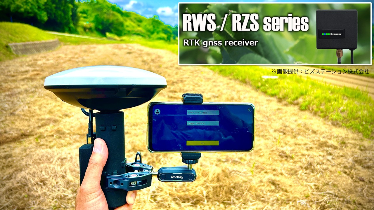
"Drogger" Series
As of May 2025, Agri-AR is compatible with various devices from the widely used Drogger series, particularly in the field of surveying. RTK data obtained with Drogger can be used within Agri-AR.
Drogger's Website
Agri-AR’s Support Page
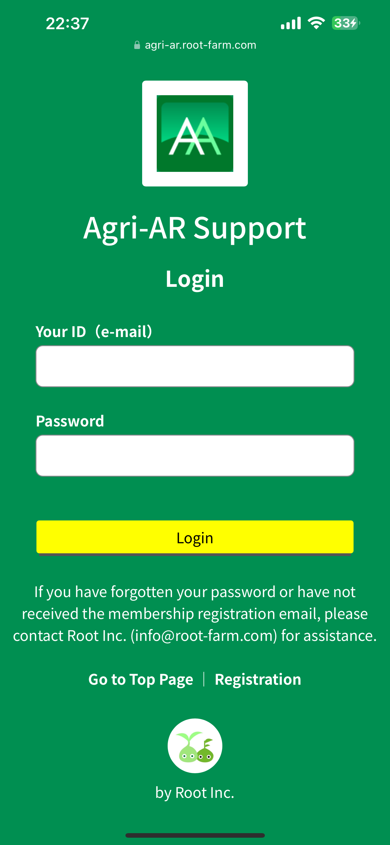
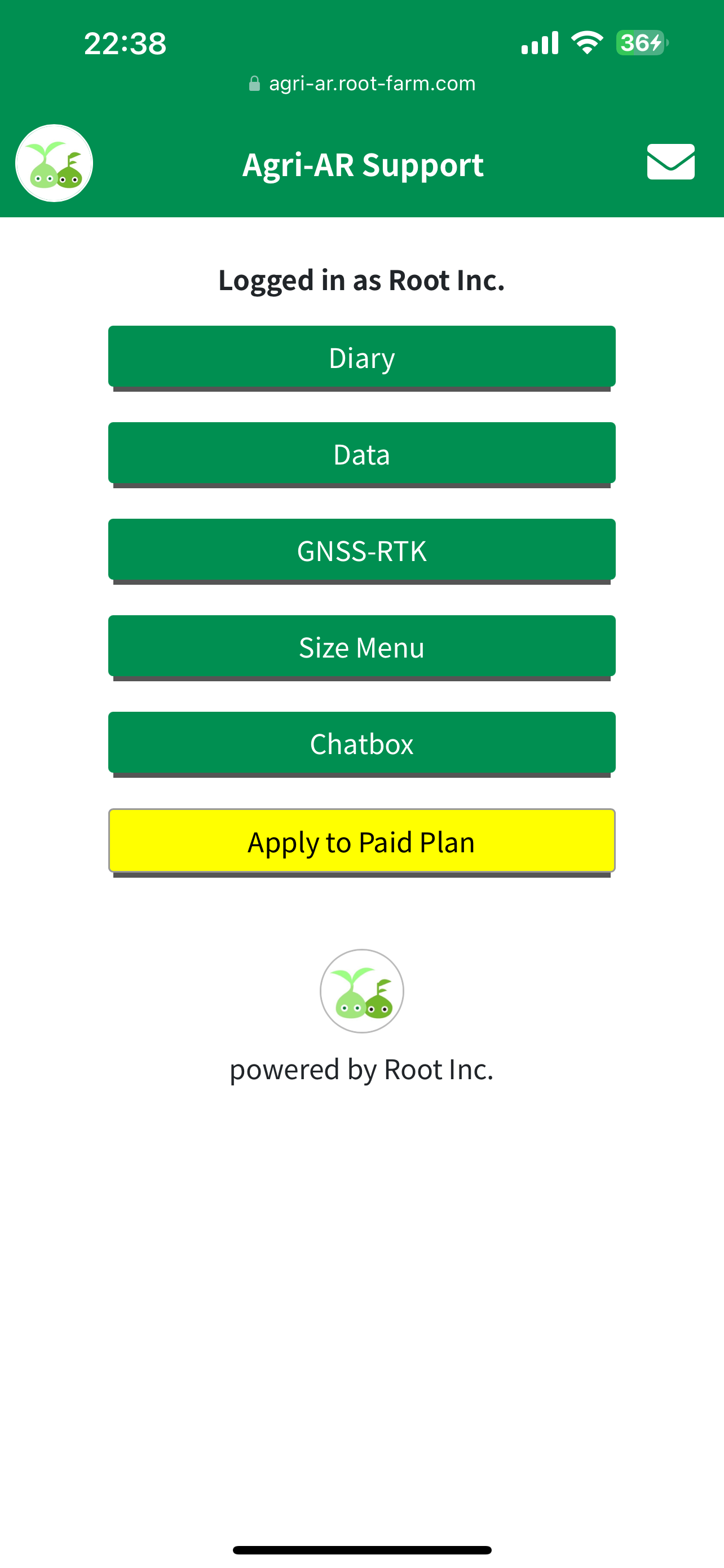
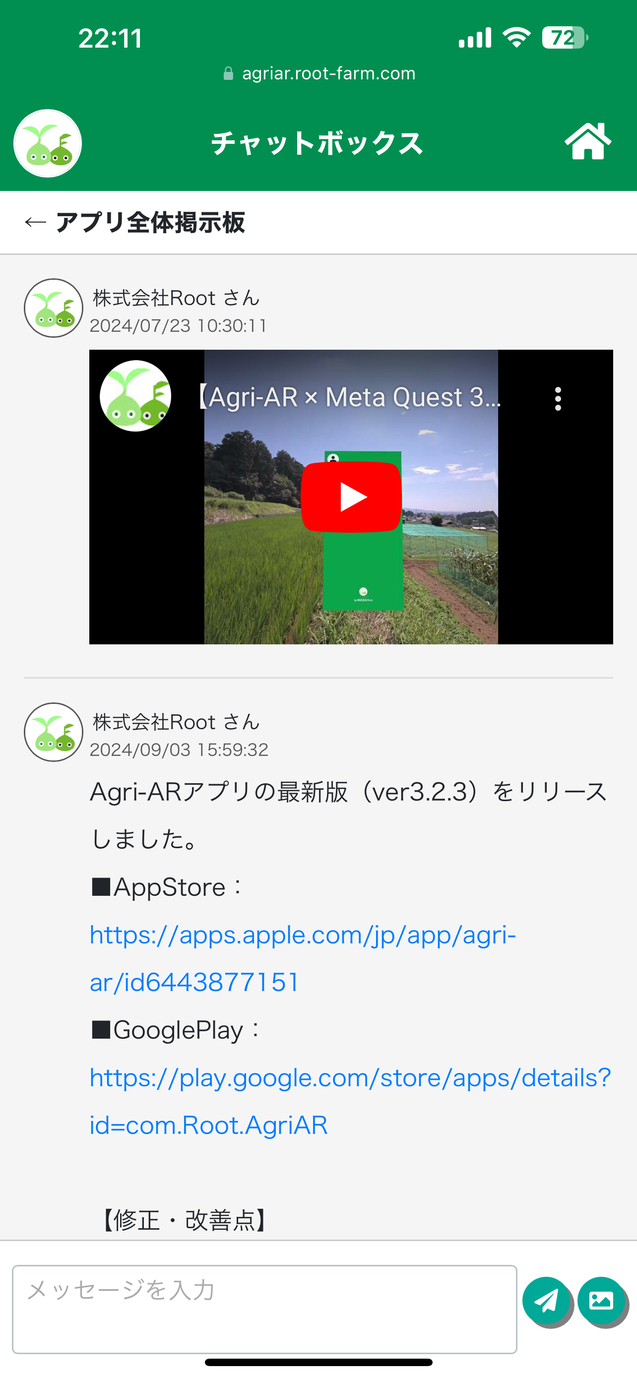
Agri-AR users can access support page to configure & manage tasks through the main app.
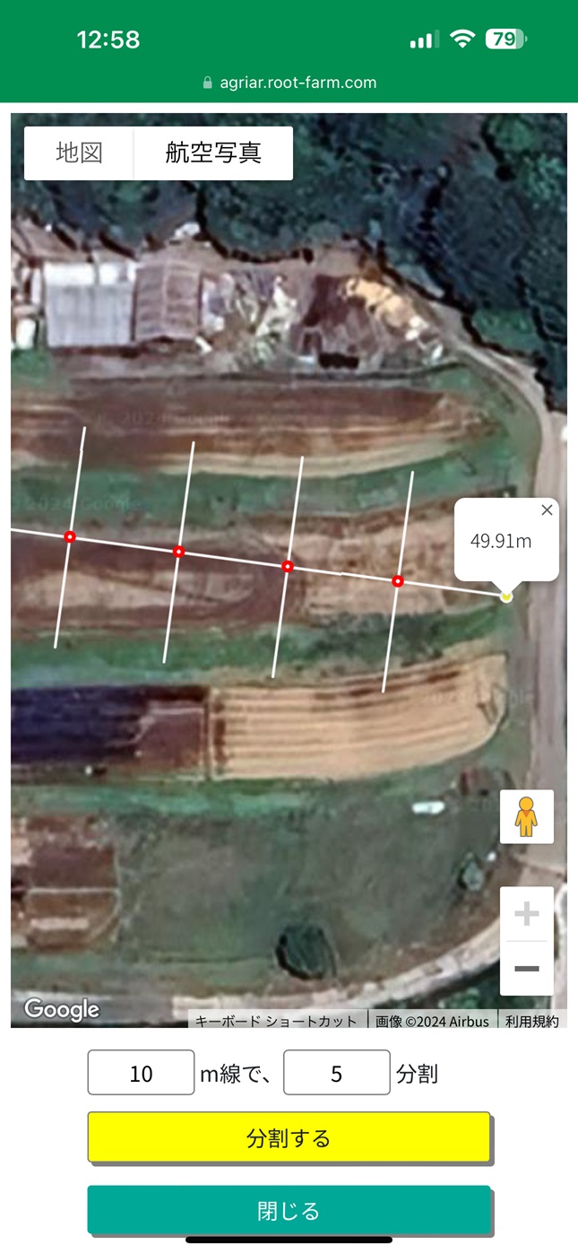
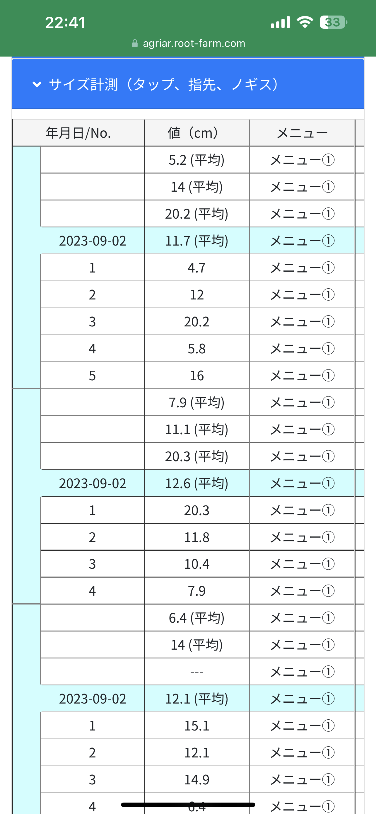
The page offers features such as an automatically saved work log for various measurement results, individual support chat with the administration, and plan management.
Login
Home
Diary

Map
Data
Screen Shot
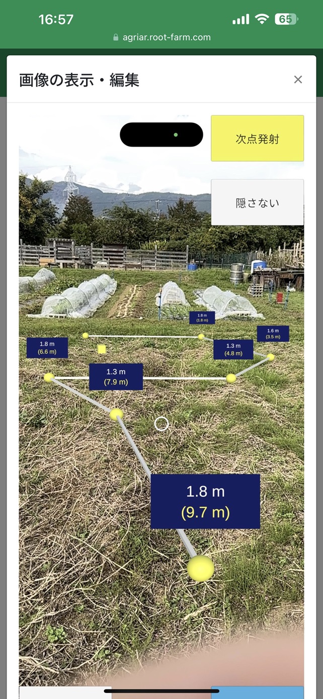
Management

Size Menu

Chatbox
GNSS Status
Go to Support Page
Tutorial Page
Inquiry Form
If you have any questions, concerns, or would like to discuss new feature development,
feel free to contact us through this form or via the chatbox on Support Page.


